Sherburne SWCD
squirrel
Give us a call
763-220-3434
Office Location
425 Jackson Ave NW
Elk River, MN 55398
Home
The District
Staff & Location
SWCD News & Events
Podcasts & Webinars
Employment Opportunities
SWCD Services
Financial Assistance
Technical Assistance
Equipment Rental
Planting Services
Tree Health Assessment
SWCD Programs
Tree Sale
Tree Sale Store
Tree Seedling Care
Forestry Management
Tree Health Assessment
Gravel Bed Tree Program
Citizen Pruner Program
Urban Forestry Program
Water Management
Aquatic Invasive Species (AIS)
AIS Grant Program
Watershed Partnerships
Water Quality Monitoring
WPLMN
Well Sealing Program
We Are Water MN
Stormwater Program
Sherburne COLA
Rural Resource Management
Habitat Enhancement
Prairie Planting Program
Backyard Conservation
Education & Outreach
Board of Supervisors
Minutes / Agendas / Schedule
Legislative Reporting
Elections
2021 AIS Meeting Presentations
AIS Presentations
Rain Gauge Readers
Well Testing Funds
Tree Sale Early Pick Up
*
Inspections and Reviews of Wetlands
*
Lake Monitoring and Stream Assessment
*
Rain Gardens Design & Financial Assistance
*
Design & Financial Assistance with Erosion Control
*
Information & Possible Assistance on Well Abandonment
*
Technical Assistance on Small Flooding or Water Problems
*
Low Interest Loans for Agriculture Best Management Practices
*
Education Outreach
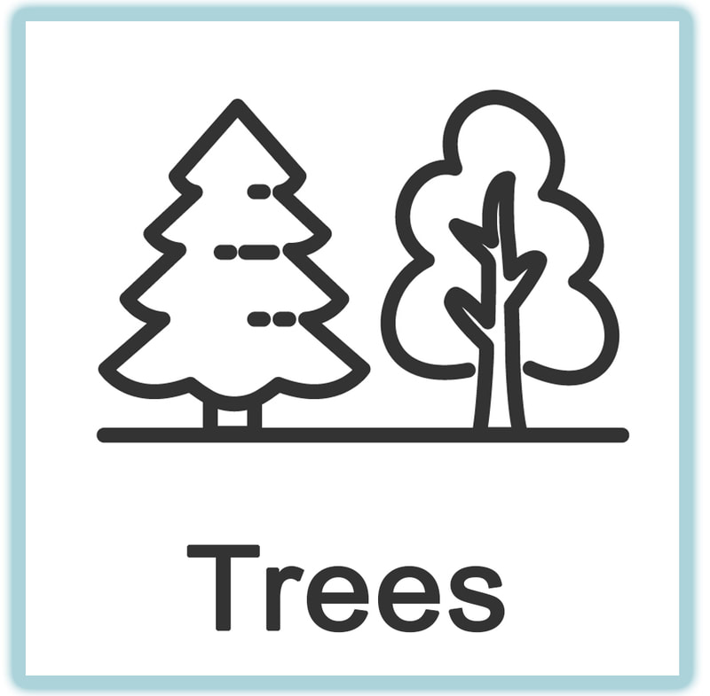
Questions
about habitat?
Contact David
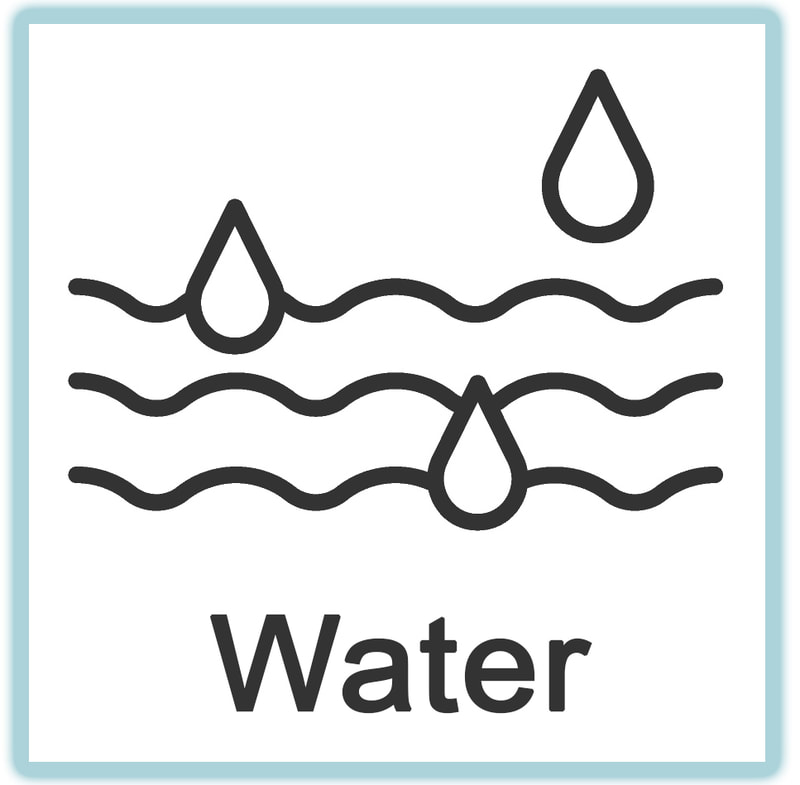
Questions
about water
Contact Franny
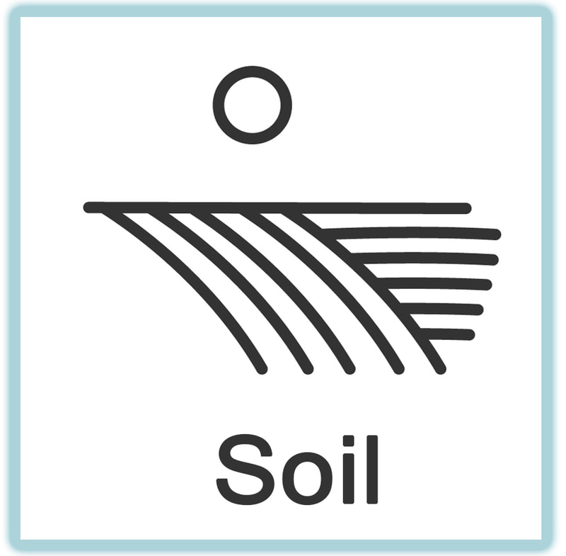
Questions
about soil?
Contact Miranda
Meeting Minutes
Current E-Newsletter
Soil Survey
Beacon Property Search
How can we help?
Sherburne SWCD provides technical assistance to landowners
on natural resource conservation areas such as:
763-220-3434
Home
The District
Staff & Location
SWCD News & Events
Podcasts & Webinars
Employment Opportunities
SWCD Services
Financial Assistance
Technical Assistance
Equipment Rental
Planting Services
Tree Health Assessment
SWCD Programs
Tree Sale
Tree Sale Store
Tree Seedling Care
Forestry Management
Tree Health Assessment
Gravel Bed Tree Program
Citizen Pruner Program
Urban Forestry Program
Water Management
Aquatic Invasive Species (AIS)
AIS Grant Program
Watershed Partnerships
Water Quality Monitoring
WPLMN
Well Sealing Program
We Are Water MN
Stormwater Program
Sherburne COLA
Rural Resource Management
Habitat Enhancement
Prairie Planting Program
Backyard Conservation
Education & Outreach
Board of Supervisors
Minutes / Agendas / Schedule
Legislative Reporting
Elections
2021 AIS Meeting Presentations
AIS Presentations
Rain Gauge Readers
Well Testing Funds
Tree Sale Early Pick Up
mobile menu
Give us a call
763-220-3434